05.02.2016.
140 years of the Military Geographical Institute
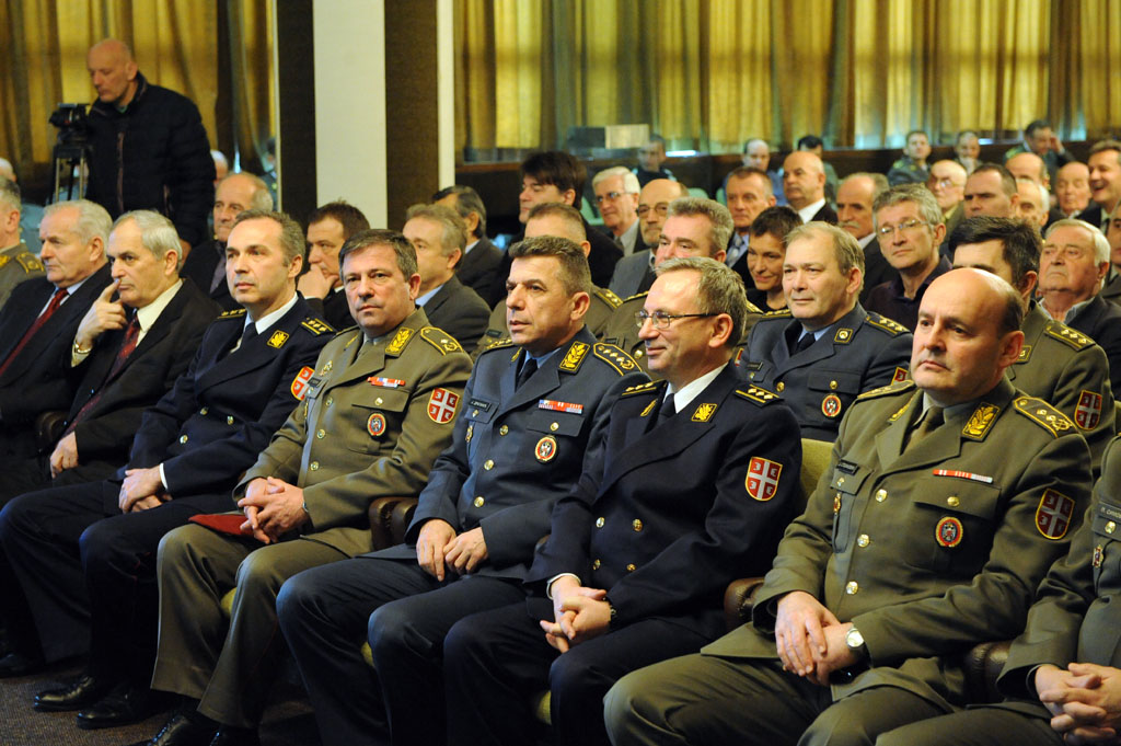
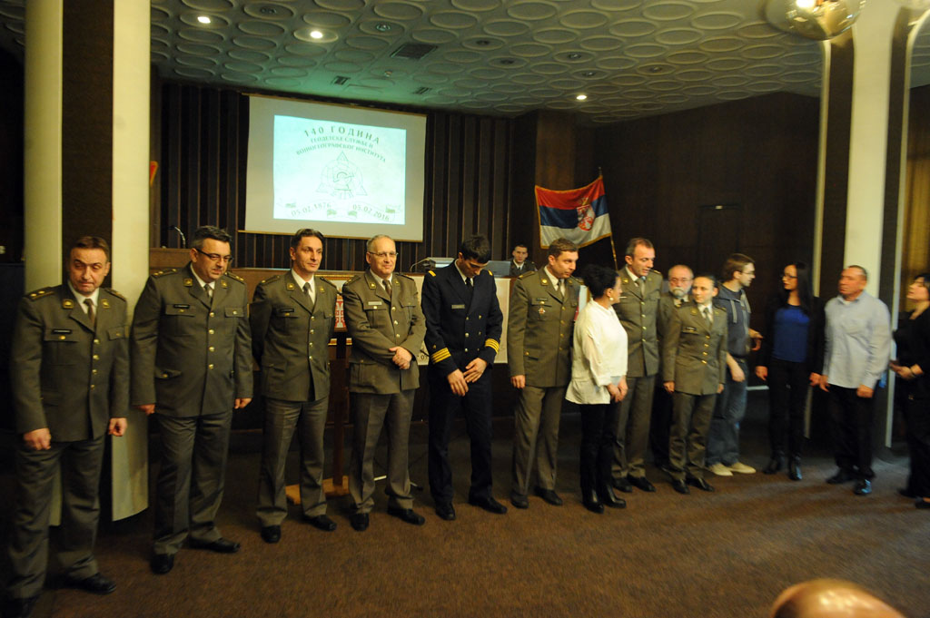
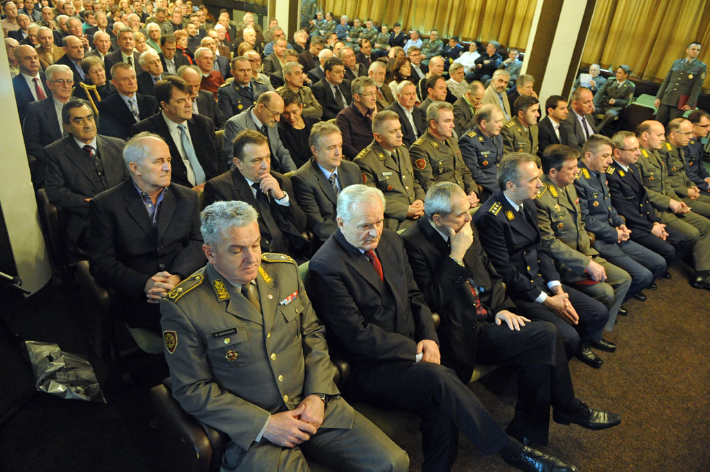
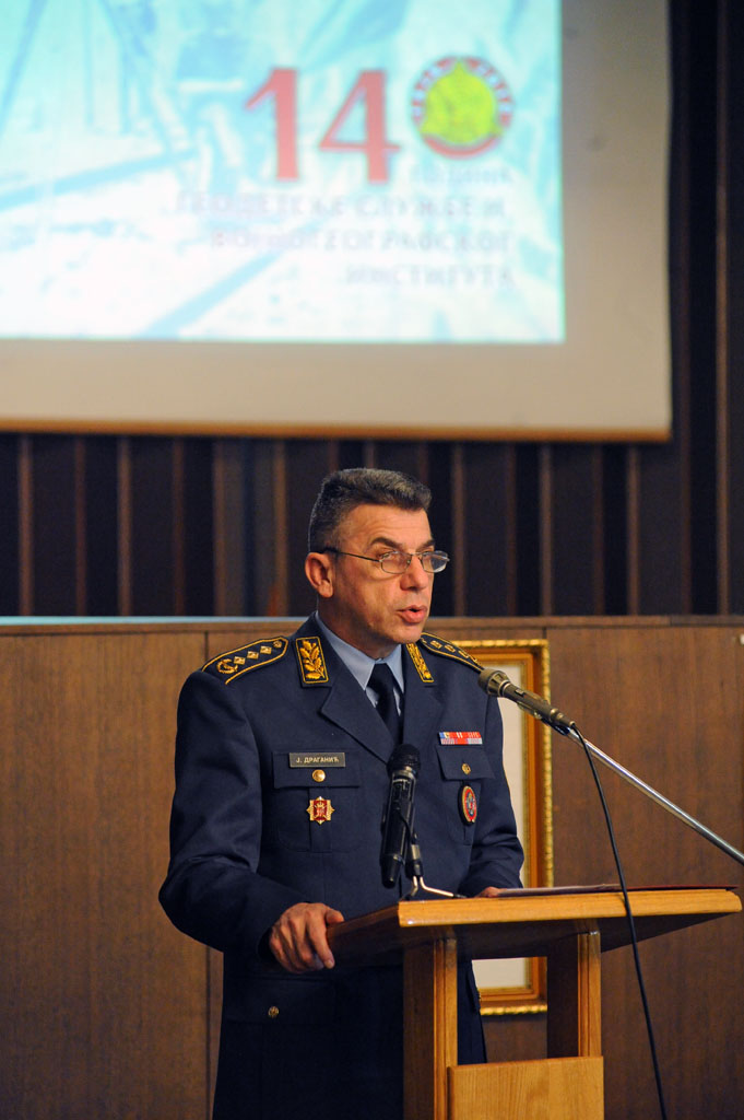 With a ceremonial meeting in the premises of the Military Geographical Institute, 140 years of existence of the scientific research institution and as many years of Geodetic Services have been celebrated. The meeting was attended by Deputy Chief of General Staff Lt. Gen. Jovica Draganic, heads of other GS departments, representatives of institutions that cooperate with MGI, and retired and active members of the Institute.
Congratulating the military surveyors on their holiday, General Draganic said that MGI and geodetic service of our military since their establishment to date have achieved significant results, which would be the pride of armies richer than ours.
-You keep up with related services of the most modern armies. In preparing topographic materials you apply cutting-edge digital technology and comply with all relevant standards of your profession. You give a significant scientific contribution to our society, realize projects of military and social significance and collaborate with domestic and foreign related establishments and institutions. With your work, you contribute to the Serbian Armed Forces being able to execute its tasks in the best possible way - General Draganic said.
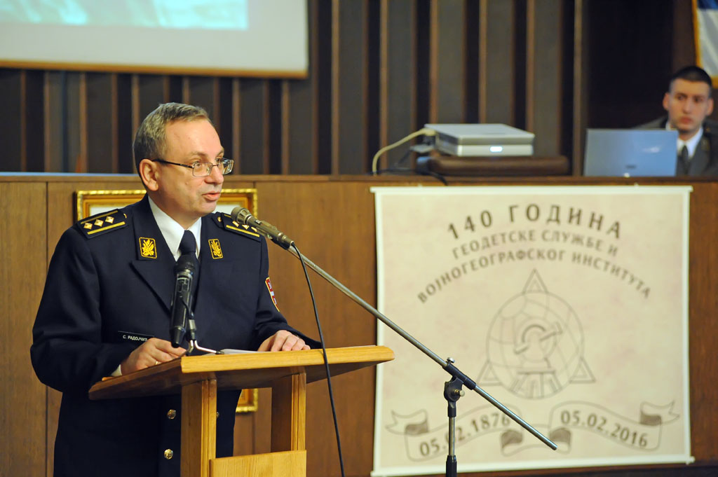
 On the results of that MGI has achieved over the past 140 years commented Chief of the Institute Colonel doc. Dr Stevan Radojcic and he pointed out the two most important ones. First, the topographic surveys of the Kingdom of Serbia, which was implemented from 1881 to 1892 in the scale of 1:50,000, and on the basis of which was made the General Staff map of the Kingdom of Serbia in the scale 1:75,000, and as the second largest project in the history of MGI and geodetic services - diameter of Yugoslavia and the creation of topographic maps at the scale of 1:25,000.
Colonel Radojcic reminded that MGI designed and developed the first trigonometric, levelling, gravimetric and GPS networks throughout the national territory, was the first to carry out systematic measuring of Serbia and based on it created the first large scaled topographic maps, conducted the first scientific research in the field of geodesy, cartography and related disciplines, the first to apply metologic research of geodetic criteria, the first to print maps with offset technology, made the first relief maps, developed the first digital map of Serbia and digital elevation model of high resolution, first established a central database ...
 Today they designed a complete redesign of their topographic material - from the mathematical basis, a new diameter series of topographic maps, new formats and new divisions on the sheets, to the new content. This way, both the Ministry and the Armed Forces will get more sophisticated, cheaper and maps based on relevant international standards, by the dynamics which, as pointed out by Colonel doc. Dr Radojcic, had already been determined.
- Based on the result we achieve in this regard, such will be the place of the current generation in the history of geodetic services and MGI - said the Chief of MGI.
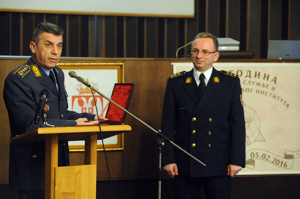
For the results achieved in the work, and on the occasion of the significant anniversary, Chief of General Staff General Ljubisa Dikovic awarded the plaque of the Serbian Armed Forces to the Institute. The plaque was presented to the Chief of MGI by Lt. Gen. Jovica Draganic.
 PHOTOGALLERY


 VIDEOGALLERY