

03.02.2017.
The Day of Geodetic Service and Military Geography Institute marked
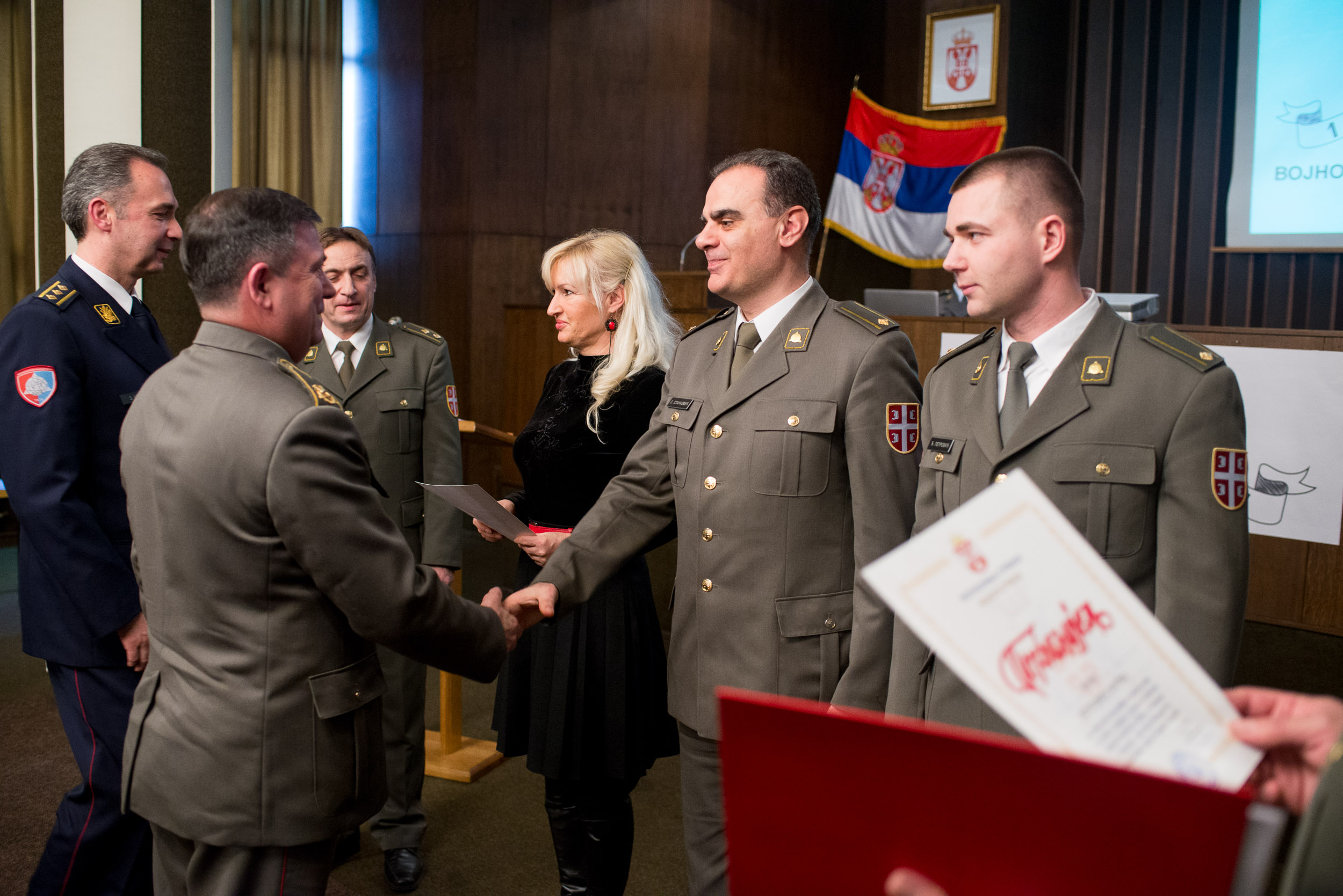
The Day of Geodetic Service and the Day of Military Geography Institute were marked at the Military Geography Institute. Greeting the guests, representatives of the Ministry of Defence and the Serbian Armed Forces, retired members of the MGI and the representatives of cooperating companies, the Head of the MGI, Colonel Zoran Srdić, pointed out that, during three centuries long existence and successful work, that institution had changed its name, its place within the system, organisation, and even states, and yet it had never changed its primary activity – “military survey of Serbia, producing necessary maps for military use, imaging and production of different military plans, observing and studying our country and our neighbours’ countries in terms of geography, topography and statistics” as it had been written in 1876 in the Constitution of the General Staff on the establishment of Geodesy Service.
– The most important task of MGI even today remains the production of fourth generation topographic map in scale 1:25000, as Colonel Srdić underlined, adding that the previous jubilee remained remembered by the completion of the first sheets of this significant map, produced by the most hardworking part of the MGI.
Congratulating the members of the Geodetic Service and Military Geography Institute, the Head of Intelligence and Reconnaissance Operations, Brigadier General Ilija Todorov emphasised that, in previous years, they had achieved considerable results and carried out numerous planned and unplanned tasks which positively influenced the functioning of the Serbian Armed Forces and the Ministry of Defence. . Particularly underscoring the results achieved in the field of aerophotogrammetry, General Todorov said that new and modern products of the Institute would contribute to swifter and higher quality of development of new defence systems.
– A lot is being expected from the MGI in this year as well, some of it being the production of a new topographic map in scale 1:50000 and 1:1000000, and it is planned for the Institute to produce a map in scale 1:250000 which will be used in the Serbian Armed Forces for the first time - said General Todorov.
