16.07.2018.
The Serbian Armed Forces Increase their Readiness to Respond to the Challenges of the Third Mission – Cooperation of the Institutions of the Republic of Serbia in the Project of Producing the Flood Risk Maps from Donations of the European Union
The Serbian Armed Forces Increase their Readiness to Respond to the Challenges of the Third Mission – Cooperation of the Institutions of the Republic of Serbia in the Project of Producing the Flood Risk Maps from Donations of the European Union.
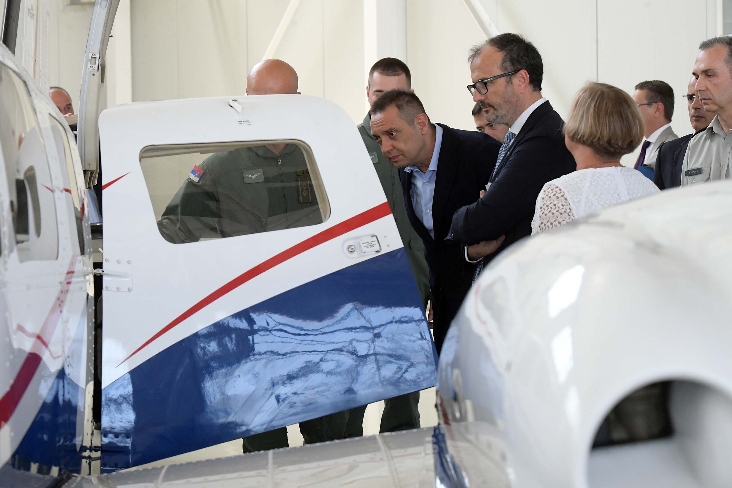
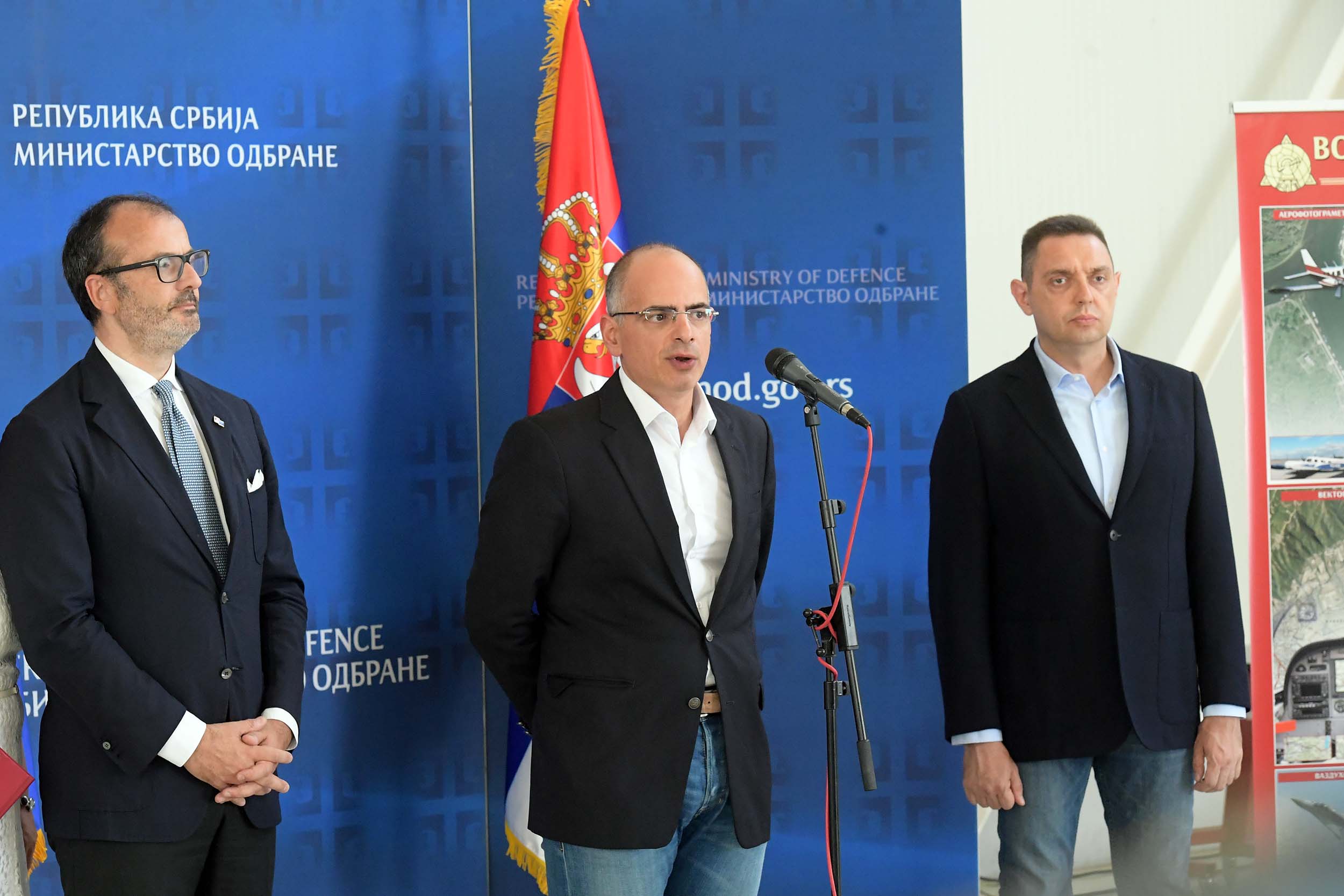
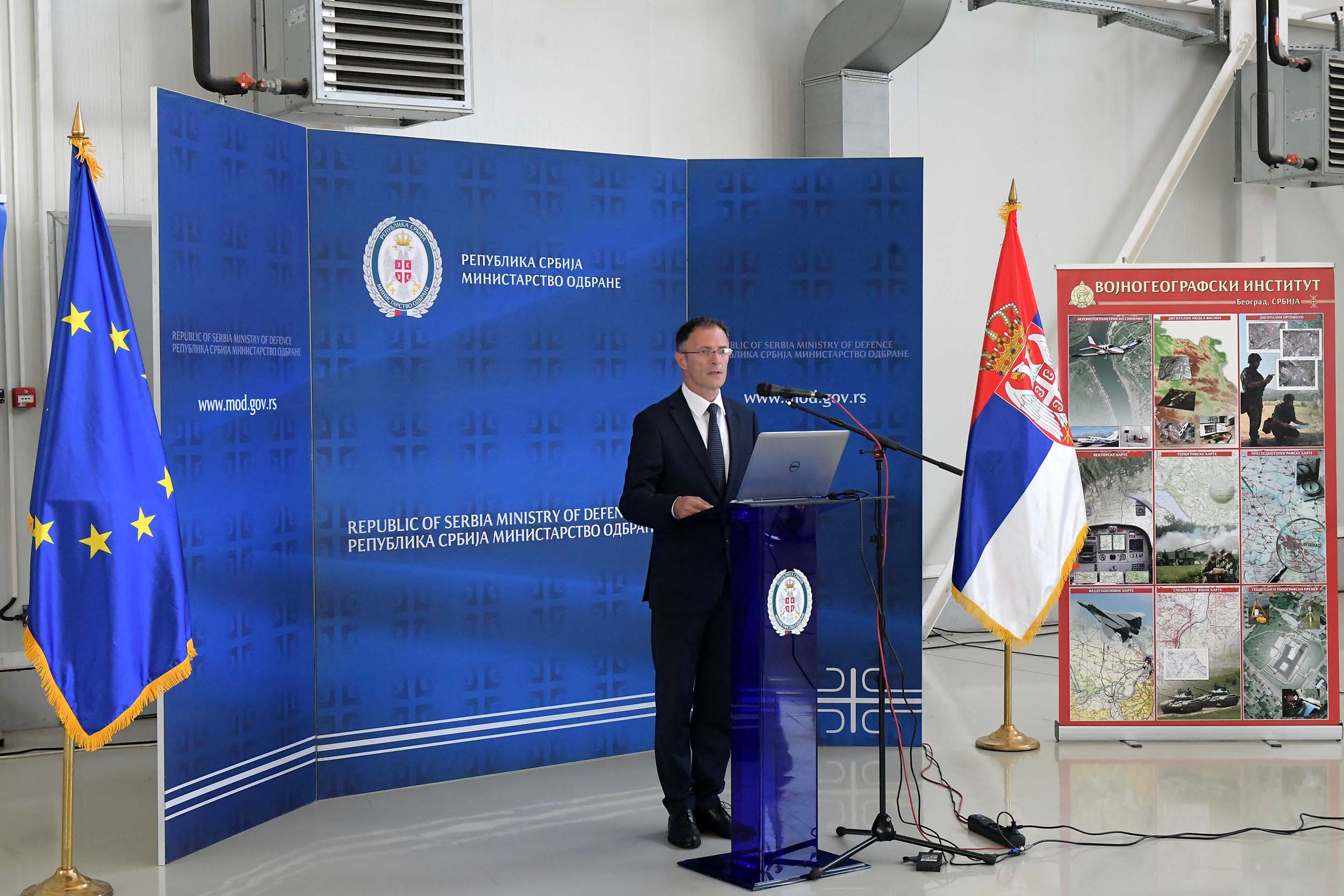
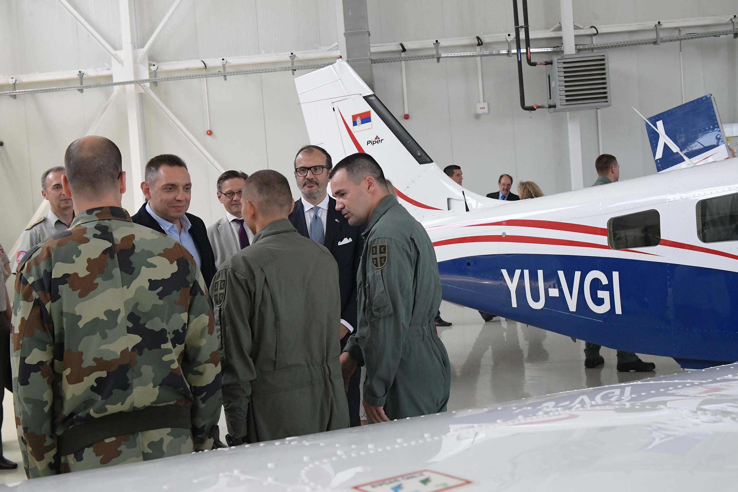
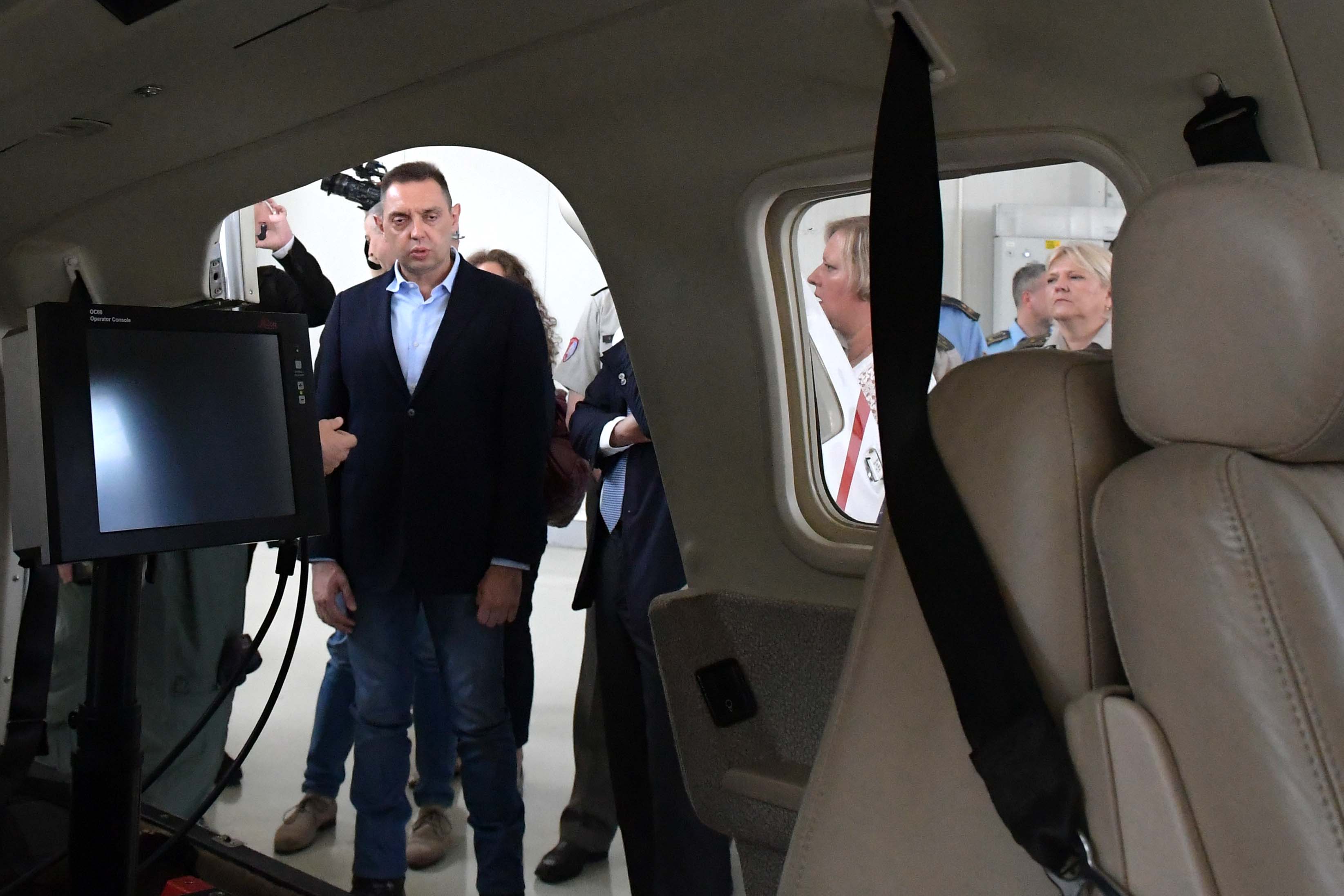
Minister of Defence Aleksandar Vulin, Head of Delegation of the European Union in Serbia, Ambassador Sem Fabrizi, and Acting Director of the Public investment management office marko Blagojević, attended today at “Batajnica” airfield, the presentation of a project financed by EU donations, IPA 2014 – “Post-Flood Rehabilitation – preparation of flood hazard and flood risk maps of flood prone areas in the territory of the Republic of Serbia” in the framework of which a donation was made in the equipment for laser air survey.
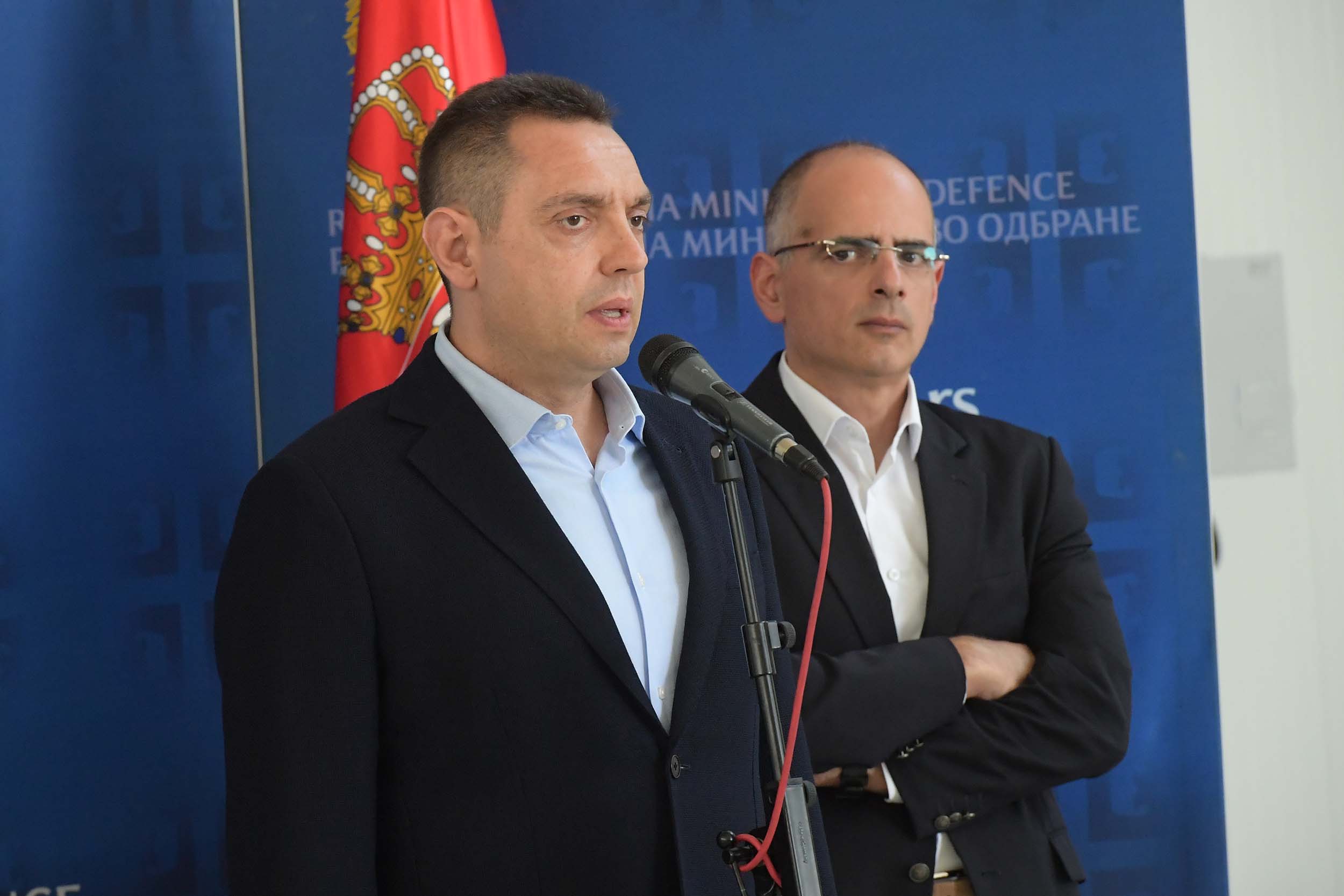
 On that occasion, Minister Vulin thanked the EU delegation in the Republic of Serbia for a generous and important donation for the Republic of Serbia. The donation is not only generous in terms of the amount of money, 1,200,000 Euros in particular, but in the quality and usefulness of the equipment.
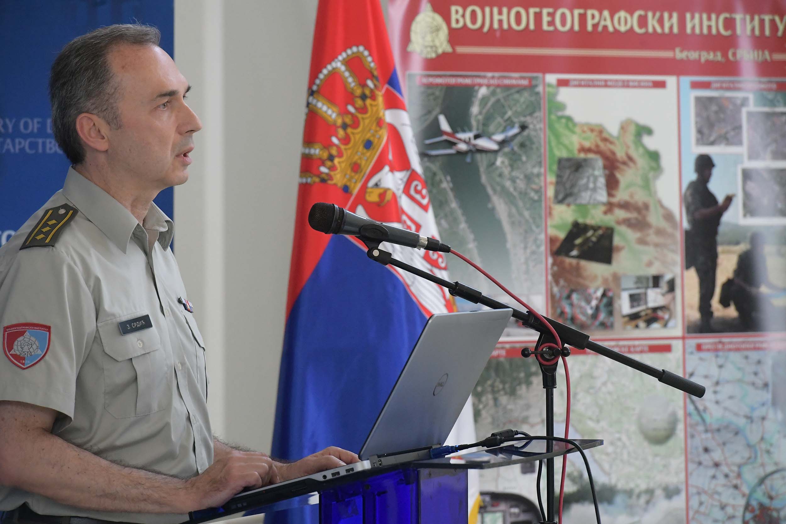
- The third mission of the Serbian Armed Forces is the cooperation and assistance to civilian authorities in case of natural disasters; and not only when they happen, but as a form of prevention in order to prevent them, to reduce the damage to a minimum. The Military Geographical Institute as the main responsible body for this task has 10,000 square kilometres to survey and map, which is a huge job for which we have prepared the personnel and for which we are ready, and it is a job that will considerably help our country to be much more successful in dealing with potential threats, to predict the events and face the world which, sadly, does not change for the better – emphasised Minister Vulin.
According to Minister Vulin, owing to the EU donation, the Military Geographical Institute is going to be equipped much better and readier to change things and this is certainly an excellent example how the Serbian Armed Forces cooperates with the civilian bodies, and how the EU bodies can directly cooperate with the Ministry of Defence and Serbian Armed Forces. “In this way we overcome numerous obstacles and manage to make life better. Furthermore, this is a proof that every investment in the Serbian Armed Forces and Ministry of Defence is an investment in the quality of life of our citizens and the quality of life of the state of Serbia – Minister Vulin sent a message.
 The project is financed by the EU in coordination with the Public Investment Management Office of the Government of the Republic of Serbia, and it involves the Ministry of Defence and Military Geographical Institute of the General Staff of the Serbian Armed Forces, National Geodesy Institute, National Hydrometeorology Institute, National Directorate for Water Economy and public water management companies “Srbijavode” and “Vode Vojvodine”. With the implementation support to the project rendered by the World Bank, the aim is to produce the flood hazard and flood risk maps by 2020.
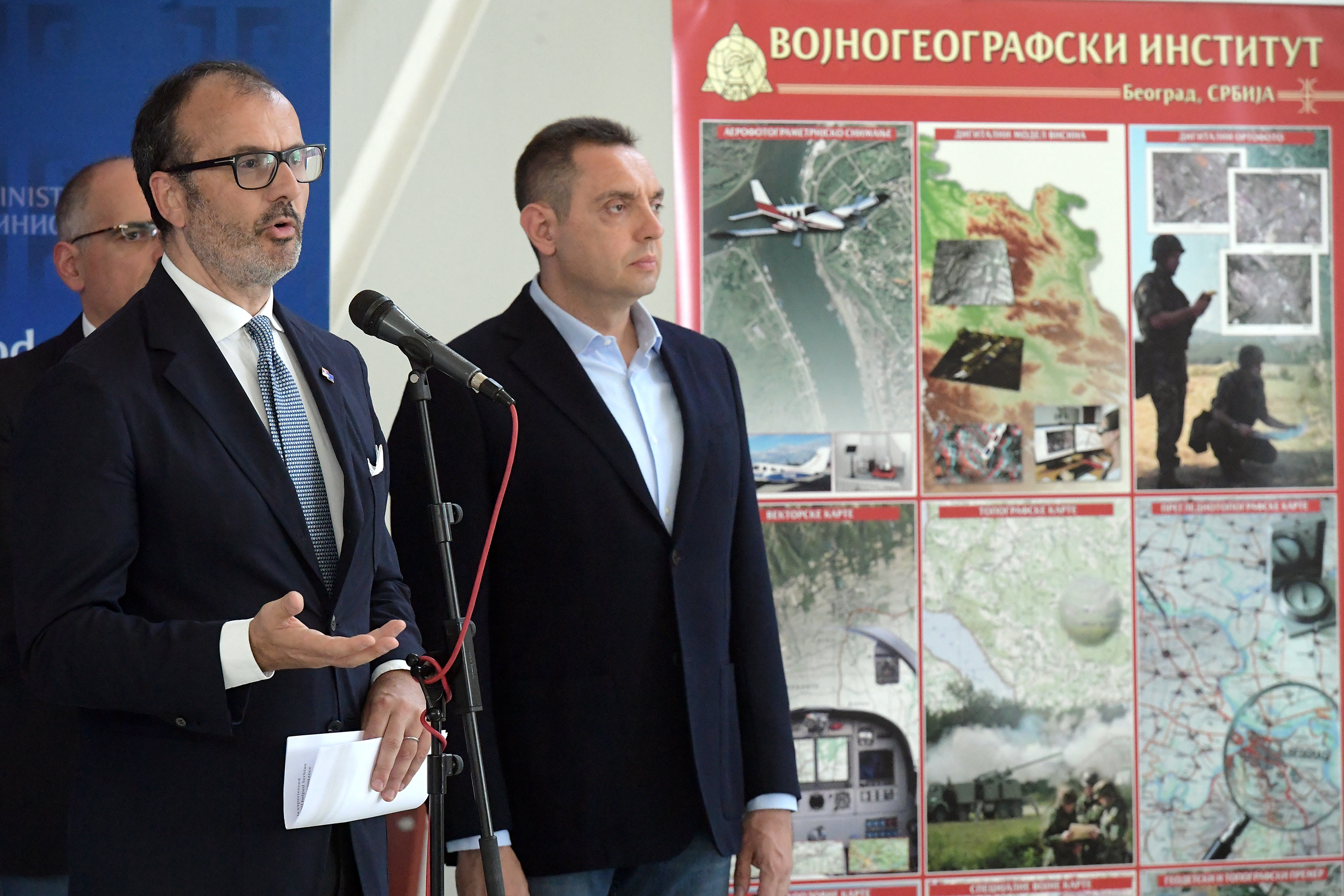
Ambassador Fabrizio expressed his pleasure with the 6.15 million euro worth project being implemented in cooperation with the institutions of the Republic of Serbia. He underlined that the donated LiDAR (Light Detection and Ranging) technology, and the hardware and software for the processing of data obtained by airphotogrametry LiDAR camera and other associated equipment would help Republic of Serbia to be better protected from the risks that floods entail.
He reminded of the terrible floods that had stricken Serbia in 2014. The EU assistance donated in the first phase was for the recovery, and now, as Ambassador Fabrizi added, the donation was the equipment that would assist in the prevention of natural disasters. “I hope that the Military Geographical Institute will use this sophisticated equipment well, and this donation is a part of a wider package that will assist Serbia, as other EU member states, in creating a society that will be more resilient to the damage entailed by natural disasters” stressed Ambassador Fabrizi.
 Speaking about the importance of the donation, Director of the Public Investment Office Marko Blagojević pointed out that the EU had allocated huge resources amounting to 172 million euros not only for the rehabilitation but for the financing of new infrastructure for the prevention and protection against flooding.
- The Republic of Serbia started investing much more than it has ever been before both in strengthening and improvement of the existing infrastructure because we are aware of the risks to which we are exposed and we have been doing so in order to be a bit safer each day than we are today or than we were yesterday. The flood hazard and flood risk maps are important for the prevention and better preparedness in case of natural disasters since they are used to develop evacuation and rescue plans for the population – Blagojević stressed.
The project envisages that the Military Geographical Institute conducts air survey of the terrain in 2018 and 2019 using LiDAR camera donated through this project so that the National Geodesy Institute would produce digital models of the terrain of the flood prone areas. On the basis of those 3D models, by the end of 2020 the flood hazard maps and flood risk maps will have been produced aimed at preventing floods and more efficient response in emergencies in the territory of the Republic of Serbia.
 PHOTOGALLERY


 VIDEOGALLERY
 mp4
mp4 